|
|||||||||||||||
|
The
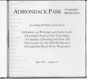
Adirondack Park Agency has recently released a CD-Rom entitled Adirondack Park Geographic Information Including GIS Data Layers from: Influences on Wetlands and Lakes in the Adirondack Park of New York State: A Catalog of Existing and New GIS Data Layers for the 400,000 Hectare Oswegatchie/Black River Watershed This compact disc contains geographic information system (GIS) data from the Adirondack Park Agency and from two wetland and watershed projects for the Oswegatchie and Black River watersheds in New York State. GIS data is provided in Arcinfo Export format and in native vector and raster formats. Data themes include:
|
This CD was prepared by the New York State Adirondack Park Agency for the State Wetlands Protection Program U.S. Environmental Protection Agency, Grant No. CD992087-01. Participants in the Oswegatchie/Black (O/B) project included the New York State Adirondack Park Agency, the State University of New York at Plattsburgh, and the Adirondack Lakes Survey Corporation. |
|||||||||||||
