The St. Lawrence River Basin Study titled, "Watershed Protection of the St. Lawrence River Watershed with Special Consideration to Large Tracts of Land Part Two: The Salmon/Trout, Raquette, and Grasse Watersheds" is one of 10 EPA-funded State Wetlands Protection Program projects awarded to the Adirondack Park Agency, and marks the completion of detailed wetland and watershed maps for about 70% of the Park. Part I of this study focused on the St. Regis River Basin and was completed in 2000.
Although the research described in this report has been funded wholly or in part by the United States Environmental Protection Agency (EPA) under assistance agreement #CD992644 to the New York State Adirondack Park Agency, it has not been subjected to the Environmental Protection Agency's peer and administrative review and therefore may not necessarily reflect the views of the EPA and no official endorsement should be inferred.
Read the St. Lawrence II Final Report
- HTML
- PDF
*Best for printing
(9.9MB file only available on CD-ROM)
 |
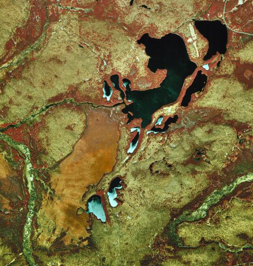
| Massawepie Lake and Massawepie Mire, National Aerial Photography Program, April 1998 |