|
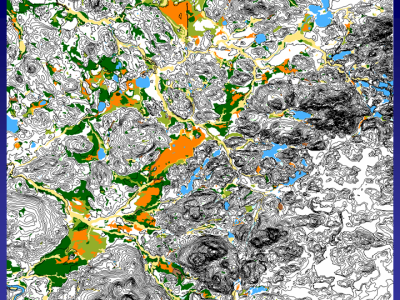
Slide 12: Displaying the wetlands layer provides the final linkup of the data layers.
|
|
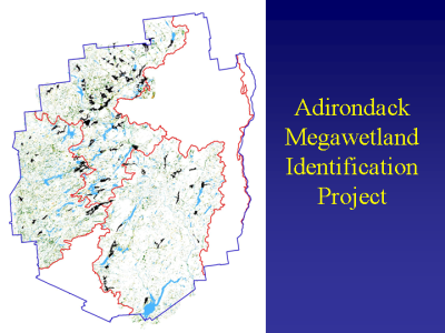
Slide 13: What became clear was that there are many other large wetlands scattered throughout the Park, including peatlands, shrub swamps, emergent marshes and riverine floodplain forests. We knew quite a bit about Spring Pond, Massawepie and Bloomingdale Bog, but very little about the other large wetland systems. How were they distributed? What type of systems were they? Were they on State or private lands? Did surrounding land use or potential land uses pose a threat of impact to them? Could their hydrology be characterized? How did they function in the landscape? Are any management actions taking place or are they needed?
|
|
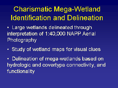
Slide 14: So how do we identify a "Charismatic Megawetland"? The wetlands were delineated using the mid-1990ís National Air Photo Program color infrared photography at 1:40000 scale. These maps were scanned for visual cues of large covertype agglomerations.
|
|
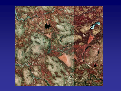
Slide 15: NAPP color-infrared aerial photography.
|
|
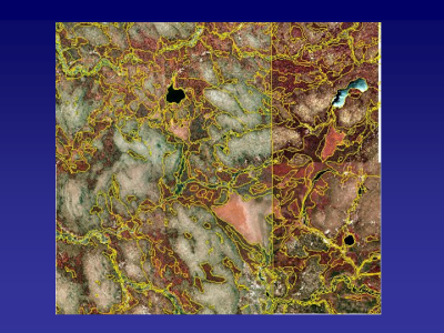
Slide 16: Wetland delineations overlaid on top of aerial photos.
|
|
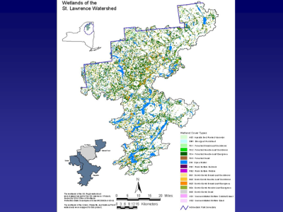
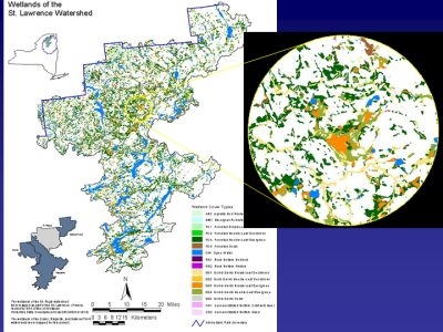
Slide 17: Each wetland map was studied and large wetland complexes were visually identified.
|
|
Slide 18: Once a complex was located additional reference materials was accessed to determine what the boundary of the megawetland should be. Topo maps, airphotos, site visit notes were all used to make that determination. We tried to be inclusive since we were interested in the functionality of the wetland system on many scales. Cutting off the wetland at a watershed boundary may make hydrologic sense, but perhaps not wildlife habitat sense.
|
|
Slide 19: The boundary of the mega-wetlands were delineated.
|
|
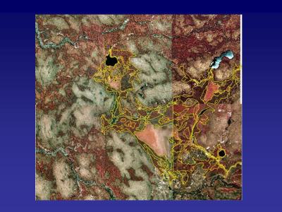
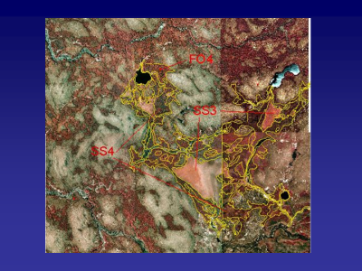
Slide 20: Waverly Bog megawetland complex with hydrologic and cover type connectivity and functionality.
|
|
Slide 21: Wetland cover types of the megawetland complex.
|
|
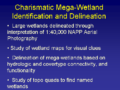
Slide 22: Topo quads were studied to find named wetlands.
|